Another Dose of Severe Storms in Florida
Severe storms have been working through the Sunshine State for the better part of the last 2 days. These have been primarily wind producers, with some sporadic 60-65 mph gusts being clocked. They were high enough to knock out power around the Daytona Beach area in the early morning hours of Wednesday.
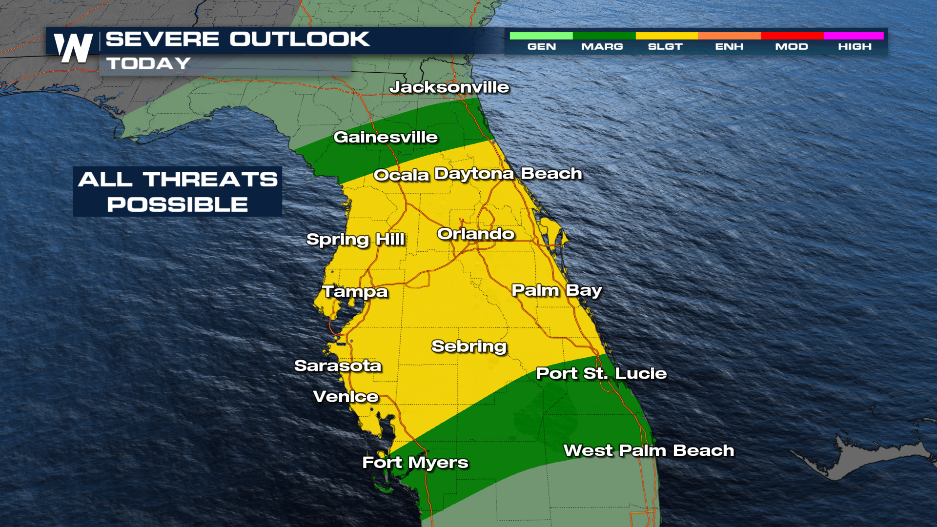
The Storm Prediction Center has maintained northern Florida and southern Georgia under a SLIGHT (level 2 out of 5) risk for severe storms Wednesday. Our forecast models have the strongest storms pushing through these spots by the evening.
 Storms will last into the afternoon, targeting the Orlando and Tampa areas. All modes of severe weather will be on the table, including a few quick spin-ups later today. The storm threat continues into South Florida on Thursday with a marginal risk in store for much of the southern part of the state. Be prepared for gusty winds and an isolated tornado.
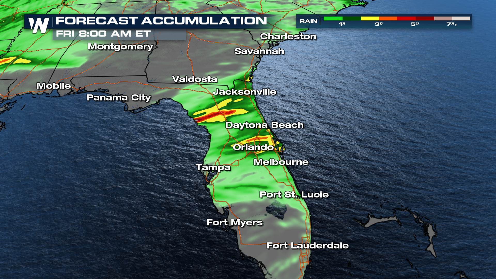
Since storms have been lingering in the same areas for extended periods, flash flooding will be a concern, even as we move into the afternoon and evening.
