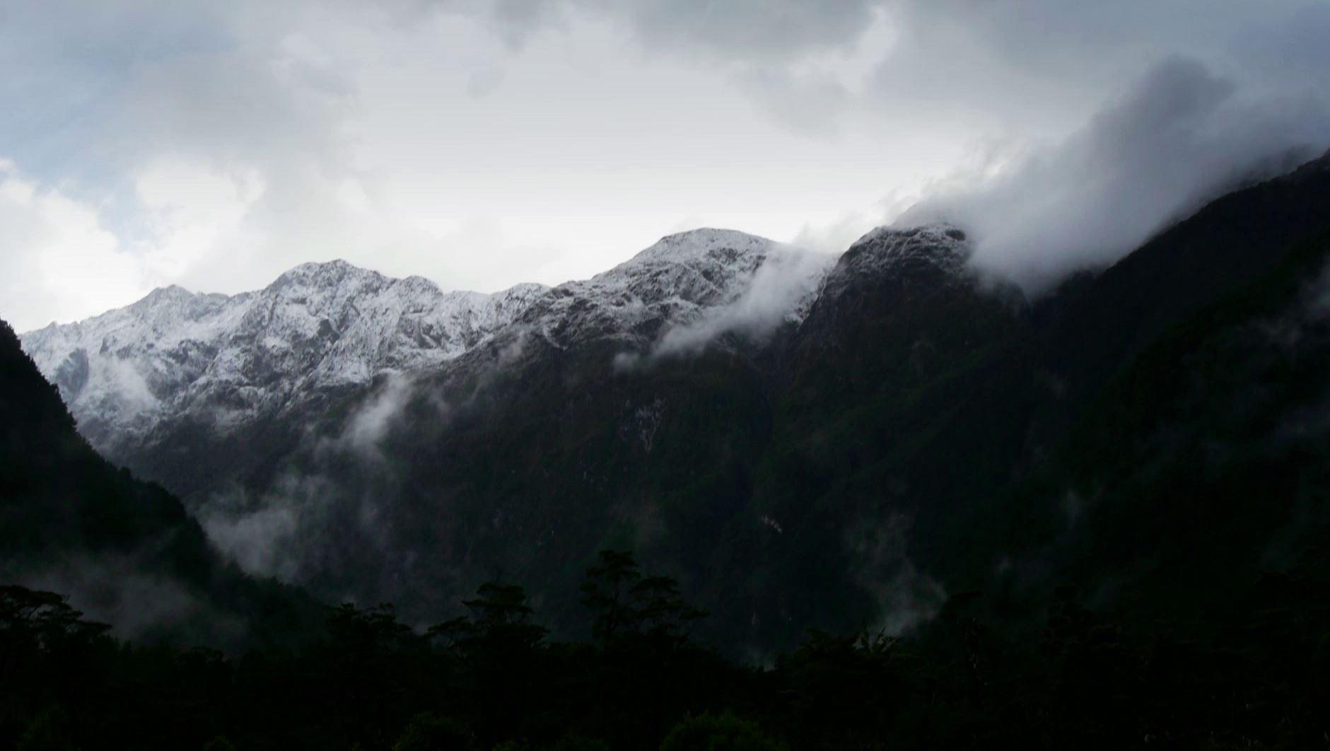
Parts Of The Cascades To Get 3 Feet of Snow Next Few Days
Special Stories
11 Dec 2018 7:15 AM
A potent storm system is on the way to the Pacific Northwest. This storm will bring several rounds of rain and snow beginning early Tuesday morning and lingering into Wednesday.
The first round of snow will dump close to a foot of snow over the next 36 hours.
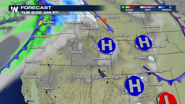 As one storm system exits the region, another will be right behind it and with freezing levels staying low, parts of the Cascades can expect accumulating snow to begin quickly as the next storm moves in by late week. Winter Weather Alerts are already in place for much of Washington state, Idaho, Oregon and Montana.
https://twitter.com/WeatherNation/status/1072515794796453889
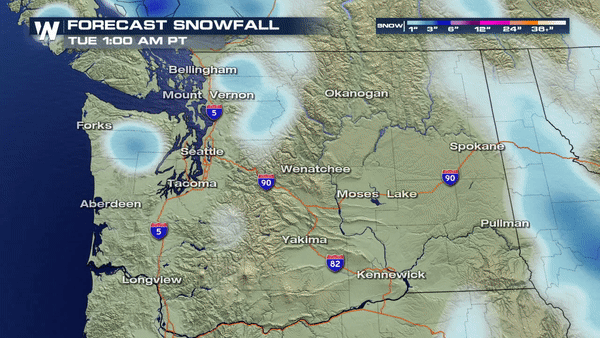
Places like Mount Baker in Northern Washington state are likely to receive 36+ inches of snow over the course of the next 4-5 days.
As one storm system exits the region, another will be right behind it and with freezing levels staying low, parts of the Cascades can expect accumulating snow to begin quickly as the next storm moves in by late week. Winter Weather Alerts are already in place for much of Washington state, Idaho, Oregon and Montana.
https://twitter.com/WeatherNation/status/1072515794796453889
Places like Mount Baker in Northern Washington state are likely to receive 36+ inches of snow over the course of the next 4-5 days.
 Meteorologist Merry Matthews
As one storm system exits the region, another will be right behind it and with freezing levels staying low, parts of the Cascades can expect accumulating snow to begin quickly as the next storm moves in by late week. Winter Weather Alerts are already in place for much of Washington state, Idaho, Oregon and Montana.
https://twitter.com/WeatherNation/status/1072515794796453889
Places like Mount Baker in Northern Washington state are likely to receive 36+ inches of snow over the course of the next 4-5 days.
Meteorologist Merry Matthews
All Weather News
More
East Gears Up for Stormy, Wet Weekend
A low pressure system crashing through the Mi
1 Aug 2026 11:35 AM


Flooding, Severe Storms Target the Midwest Again
After an active week of storms across the nor
1 Aug 2026 1:40 AM

After Reaching Category 5, Genevieve Weakens in the Pacific
PacificFausto is now a post-tropical cyclone.
31 Jul 2026 1:30 AM

Flooding Risk Increases as Heavy Rain Targets the Tri-State Area
Tuesday, heavy rainfall moved across the Nort
30 Jul 2026 12:25 AM

Severe Weather: Energy From the Midwest Now in the Southeast
UPPER MIDWEST - Through Monday, dangerous tor
29 Jul 2026 10:30 PM