Record Heat Is Getting Cornered
Special Stories
5 Oct 2019 6:27 PM
The extensive heat wave that has been plaguing the South and Southeast is beginning to get cornered and will finally come to an end *for most locations.* The heat wave backed off on Saturday in the Carolinas where cool/moist air invaded and did not want to leave. This also brought cooler conditions to Georgia.
https://twitter.com/WeatherNation/status/1180614894355222529
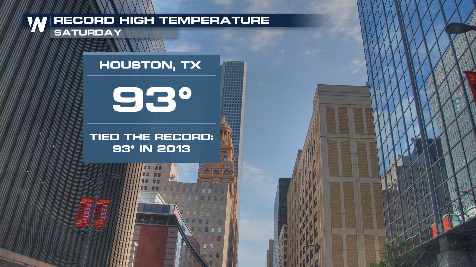
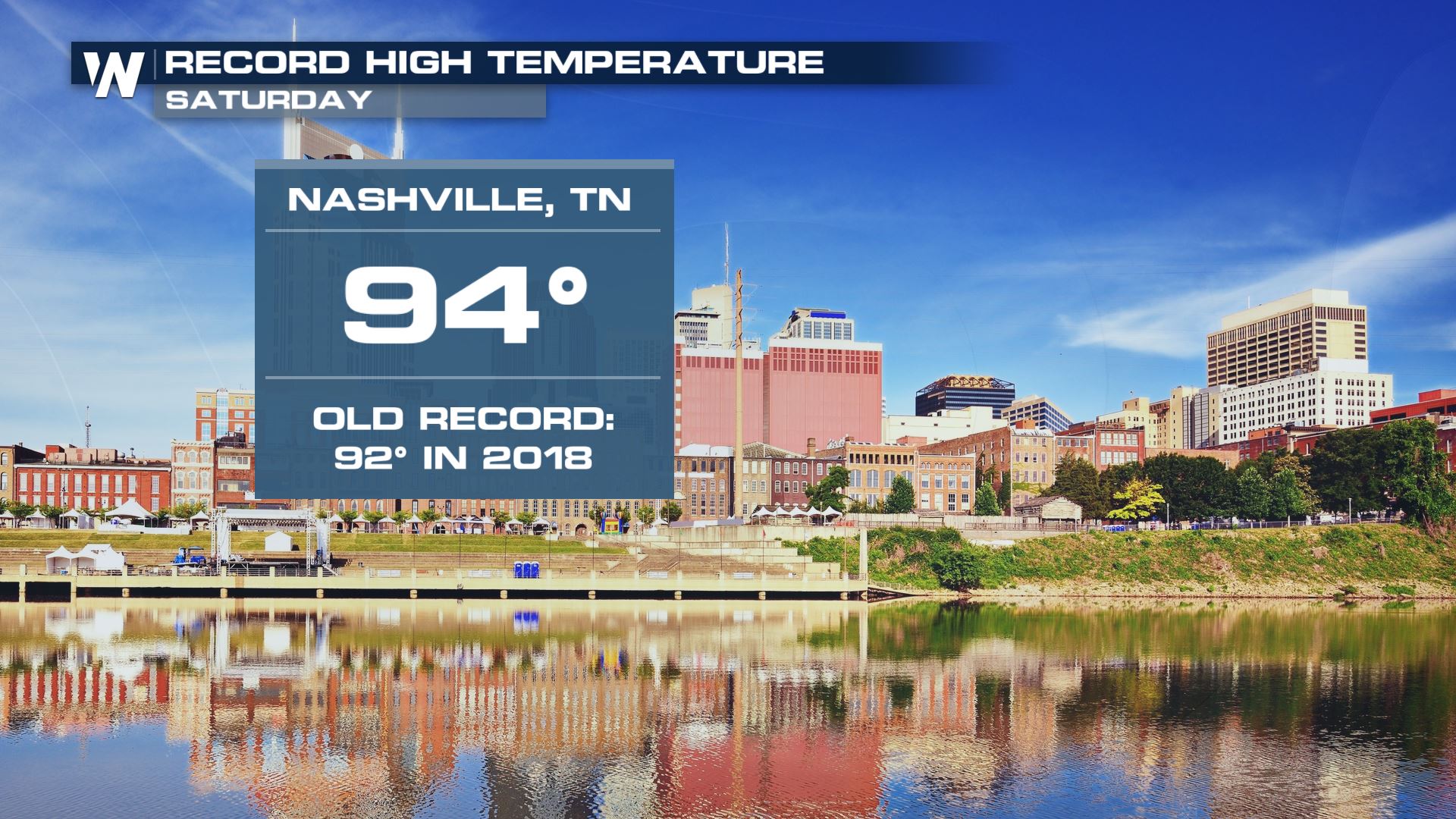
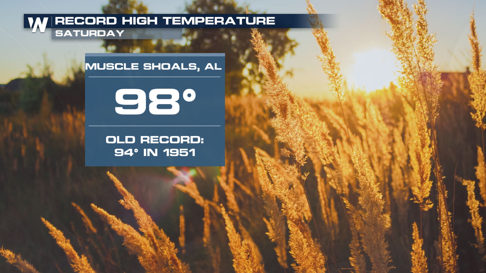
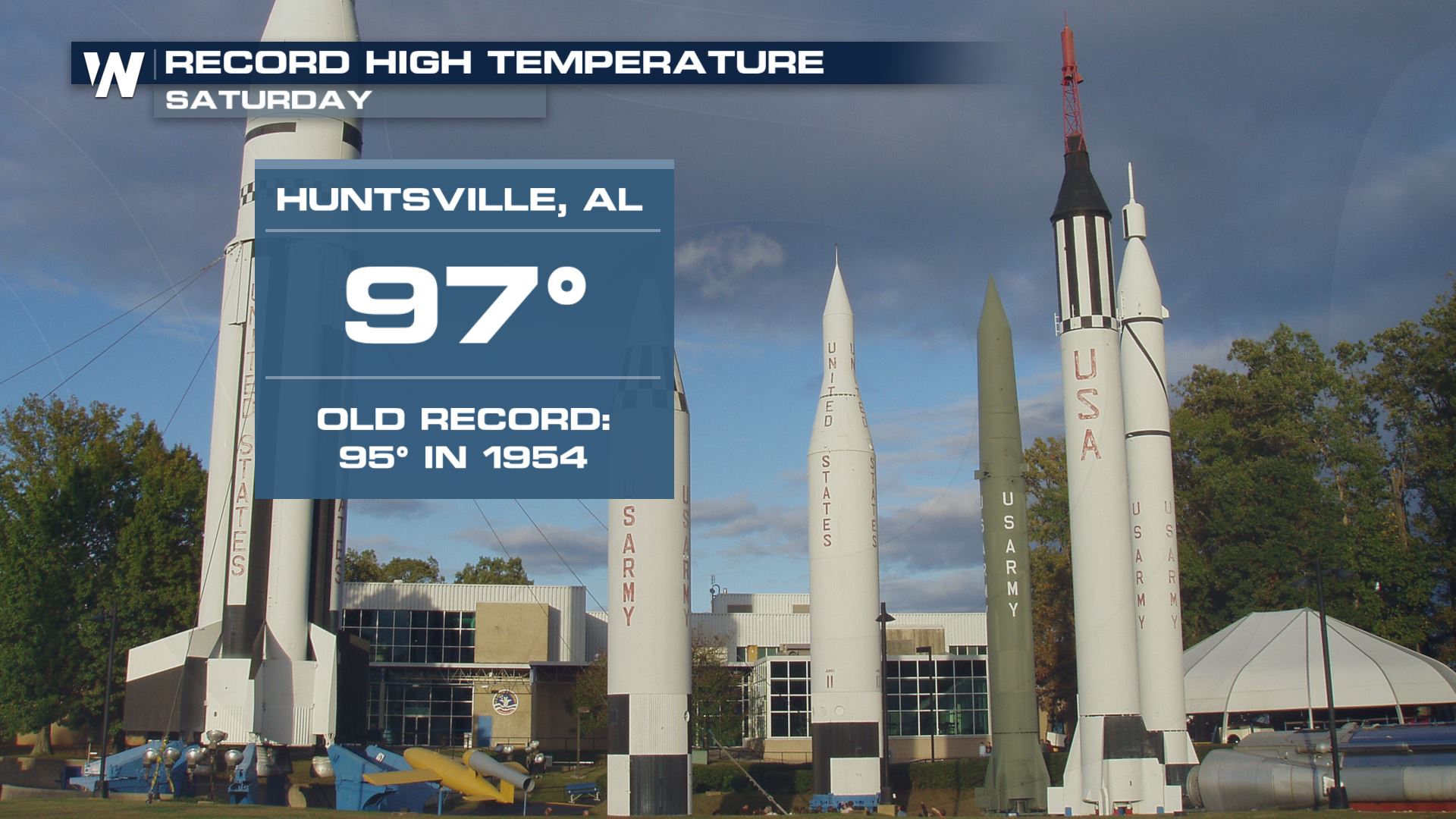
However the heat was still surging in Tennessee, Alabama, Mississippi, Louisiana and Texas on Saturday. Here are just a handful of the record high temperatures established Saturday, Oct. 5.
 One cold front, known as a backdoor cold front, swept through the Carolinas late Friday and into Saturday. Now the record heat will get backed into a corner. That corner is Texas! Another cold front is approaching from Oklahoma and Kansas and should put an end to the record heat by early this week.
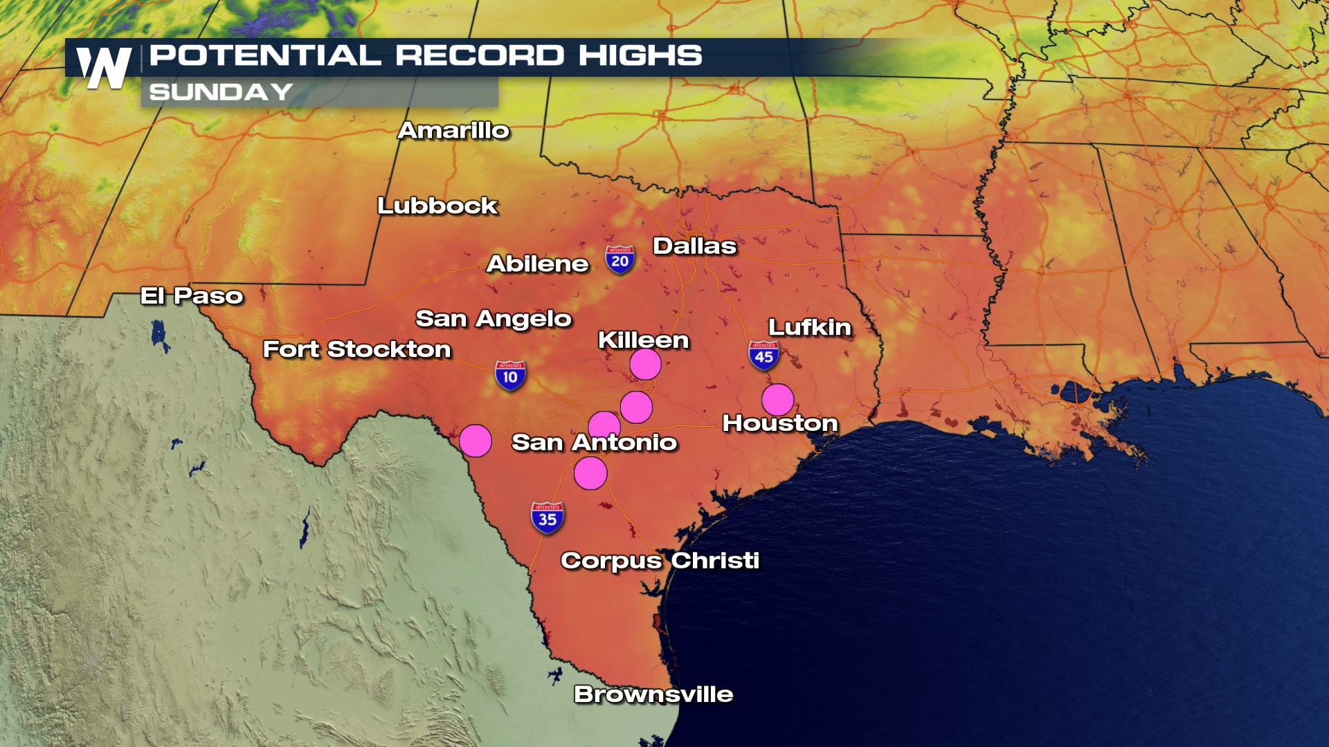 High temperatures across Texas and Louisiana will still be able to reach 90-95 degrees on Sunday afternoon. Pink dots above indicate locations where we may establish new daily high temperature records. Hang in there, the cold front sweeps through Monday-Tuesday. Take a look below:
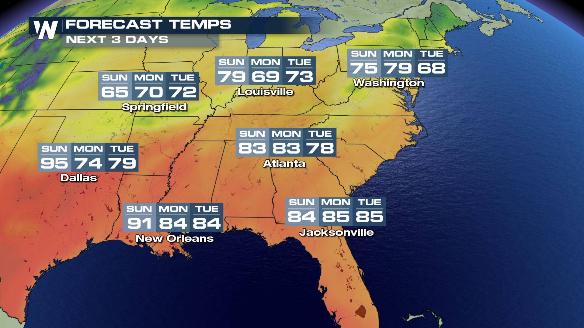 Dallas is forecast to drop from 95 degrees Sunday to the 70's on Tuesday! Atlanta is forecast to drop back into the 70's too. The immediate Gulf Coast will be cooler but not by as much.
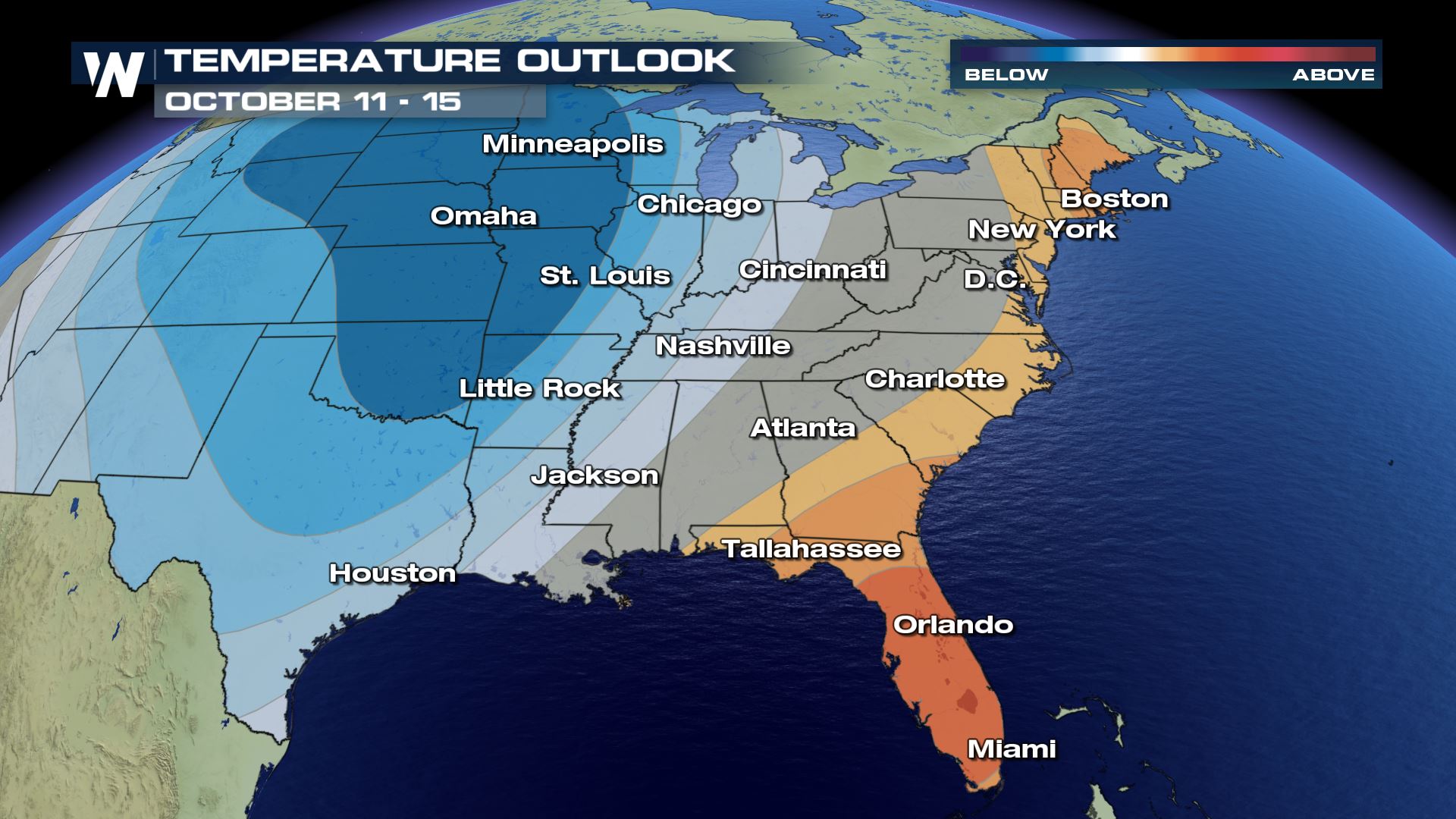
There will be another significant cool blast later this week. By Thursday and Friday temperatures could drop sharply again, due to a more widespread push of Canadian air.


 One cold front, known as a backdoor cold front, swept through the Carolinas late Friday and into Saturday. Now the record heat will get backed into a corner. That corner is Texas! Another cold front is approaching from Oklahoma and Kansas and should put an end to the record heat by early this week.
 High temperatures across Texas and Louisiana will still be able to reach 90-95 degrees on Sunday afternoon. Pink dots above indicate locations where we may establish new daily high temperature records. Hang in there, the cold front sweeps through Monday-Tuesday. Take a look below:
 Dallas is forecast to drop from 95 degrees Sunday to the 70's on Tuesday! Atlanta is forecast to drop back into the 70's too. The immediate Gulf Coast will be cooler but not by as much.
There will be another significant cool blast later this week. By Thursday and Friday temperatures could drop sharply again, due to a more widespread push of Canadian air.

All Weather News
More