Severe Thunderstorms Expected Across the East Coast

The severe weather and flood threat continues for the Northeast. A slow moving front is bringing in the moisture to the east coast along with a persistent trough situated across the interior Mid-Atlantic. While the overall threat of severe weather and heavy rainfall is lower compared to earlier this week, some of the stronger and slower-moving storms could still produce localized downpours, leading to flooding in vulnerable areas.
Over the next few days, some locations can pick up between 1-3" of rain with some isolated heavier totals throughout the Northeast region.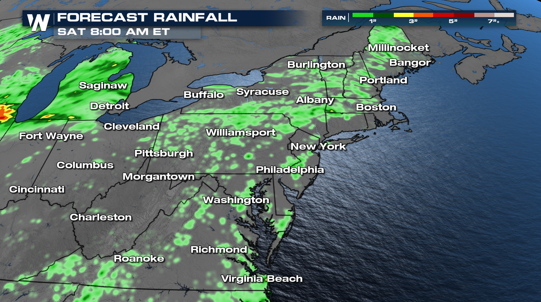
Severe Outlooks
By Friday, conditions across New England are expected to become more settled, reducing the likelihood of additional thunderstorms. However, on Friday SPC keeps a MARGINAL risk from the Southeast back into New England.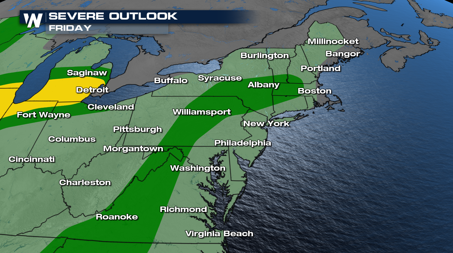
Timing
Storms will happen along and ahead of the frontal boundary. Over the next few days, strong to severe storms can develop, and during peak heating is when the risk for damaging winds and large hail will be the greatest.
Tune into WeatherNation :10 the hour for the Eastern Regional Forecast for more details.


