Storms Continue to Rumble Across the Midwest
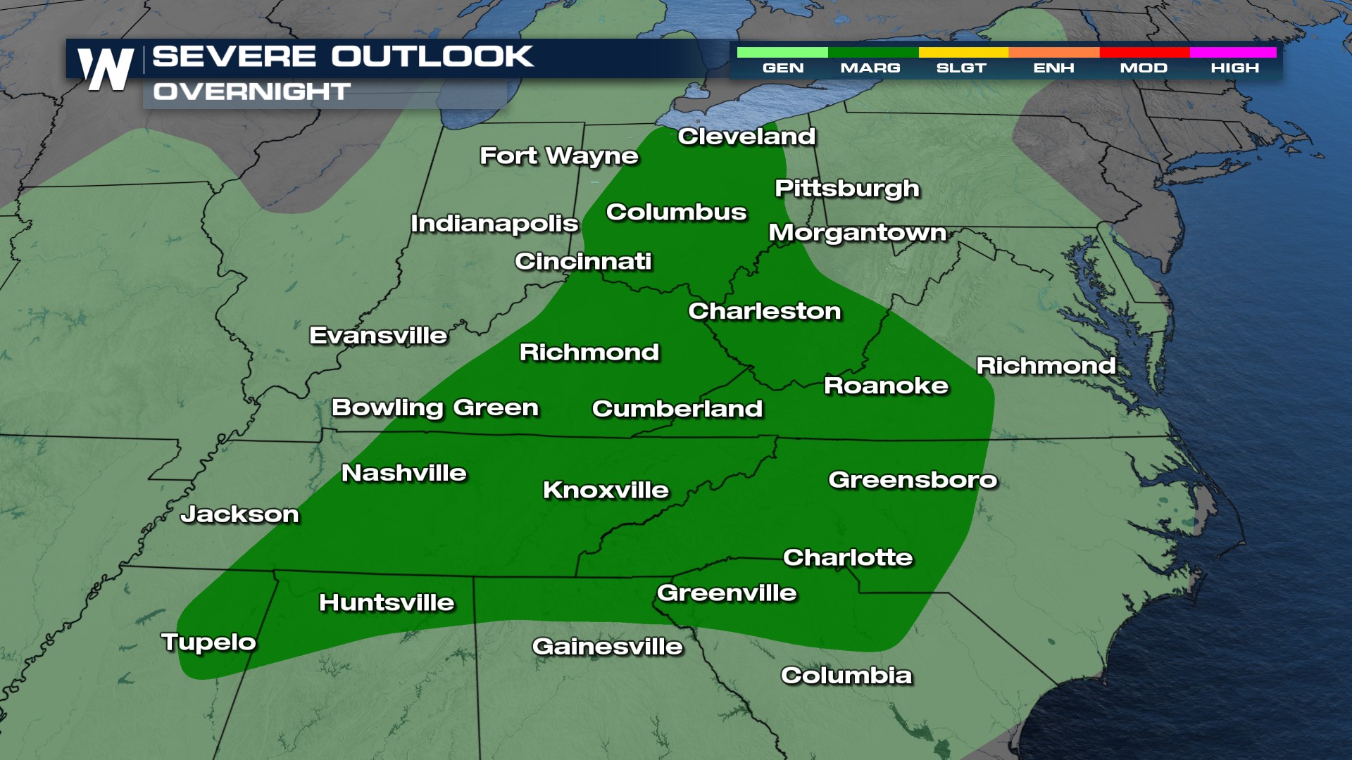
A cold front draped across the country extending from Texas through the Midwest was the forcing mechanism that triggered thunderstorms on Sunday and Monday. As the frontal boundary moves east, more severe storms and some isolated flooding will be possible through the Ohio Valley.
The Storm Prediction Center has issued a SLIGHT (level 2 out of 4) risk through overnight across portions of Ohio, Kentucky, West Virginia, and Tennessee.  Some areas of the Ohio and Tennessee Valley will see localized heavy rainfall that may prompt ponding and flooding concerns, but the problem with this area of the country is Helene, a tropical system in the Gulf, will move into this area stalling out the front and bringing heavy to tropical downpours into the Southern Appalachians.
Stay tuned with WeatherNation for more details on the rating of the Indiana tornado and the latest severe weather forecast!