Severe Weather Mauls the Midwest Tuesday
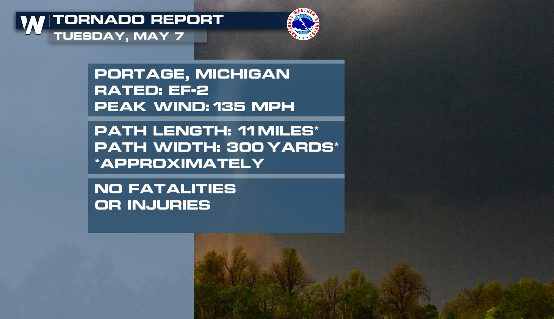
A trio of supercells then moved through southwest Michigan (top of the page). Portage took what looked like a direct hit from one of the tornadic storms, producing the expansive damage below. NWS Grand Rapids conducted their survey and concluded the damage was from a EF-2 with winds of 135mph. Two tornadoes possibly touched down in the small suburb of Kalamazoo.

Severe storms started in the state of Illinois around the midday hour. Those severe storms made it to Chicago shortly after 2:00 PM. Hailstones approached the size of hen eggs with the largest of them - around Orland Park.
The severe weather then aimed at the Buckeye state well into the evening. A few larger cities including Columbus and outside of Pittsburg had Tornado Warnings for some of the surrounding suburbs.
The city of Pittsburgh had an overnight severe tornado and we are hearing of major damage along the OH/PA border from the storm cell.
The severe weather threat will roll on into this afternoon. To catch up on the latest timing check out our latest ARTICLE ON IT.