Flooding Rain, Severe Storms Continue to Track Across the South

Life-threatening flash flooding developed last week on Thursday and Friday in Missouri to the SSW of St. Louis. Parts of Iron and Reynolds counties recorded upwards of 6-12 inches of rain, leading to water surging into homes and businesses. This resulted in numerous water rescues by emergency personnel, over 90 in fact, but the great news is everyone has been accounted for! With that being said, more rain and storms will continue over the next few days.
Forecast
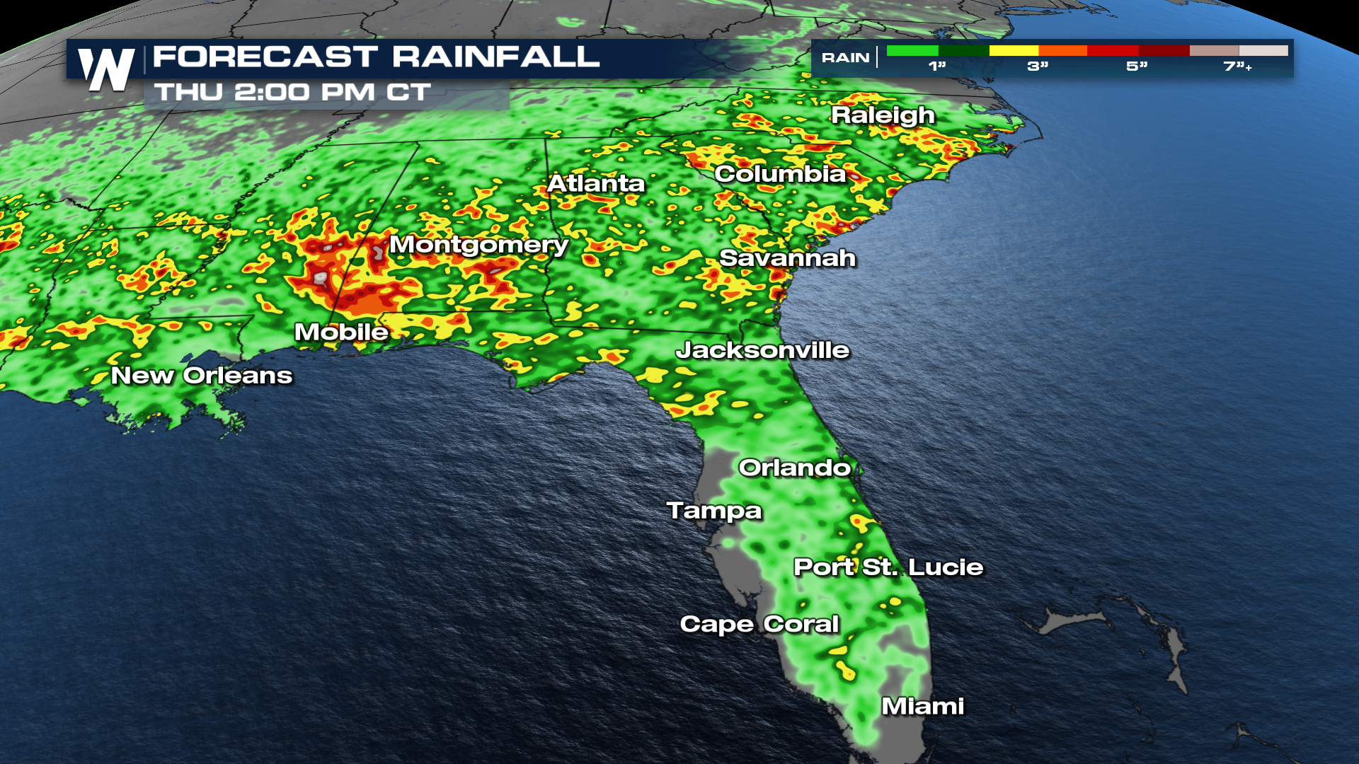
Heavy rain and storms will continue to slowly follow the frontal boundary south into Monday.
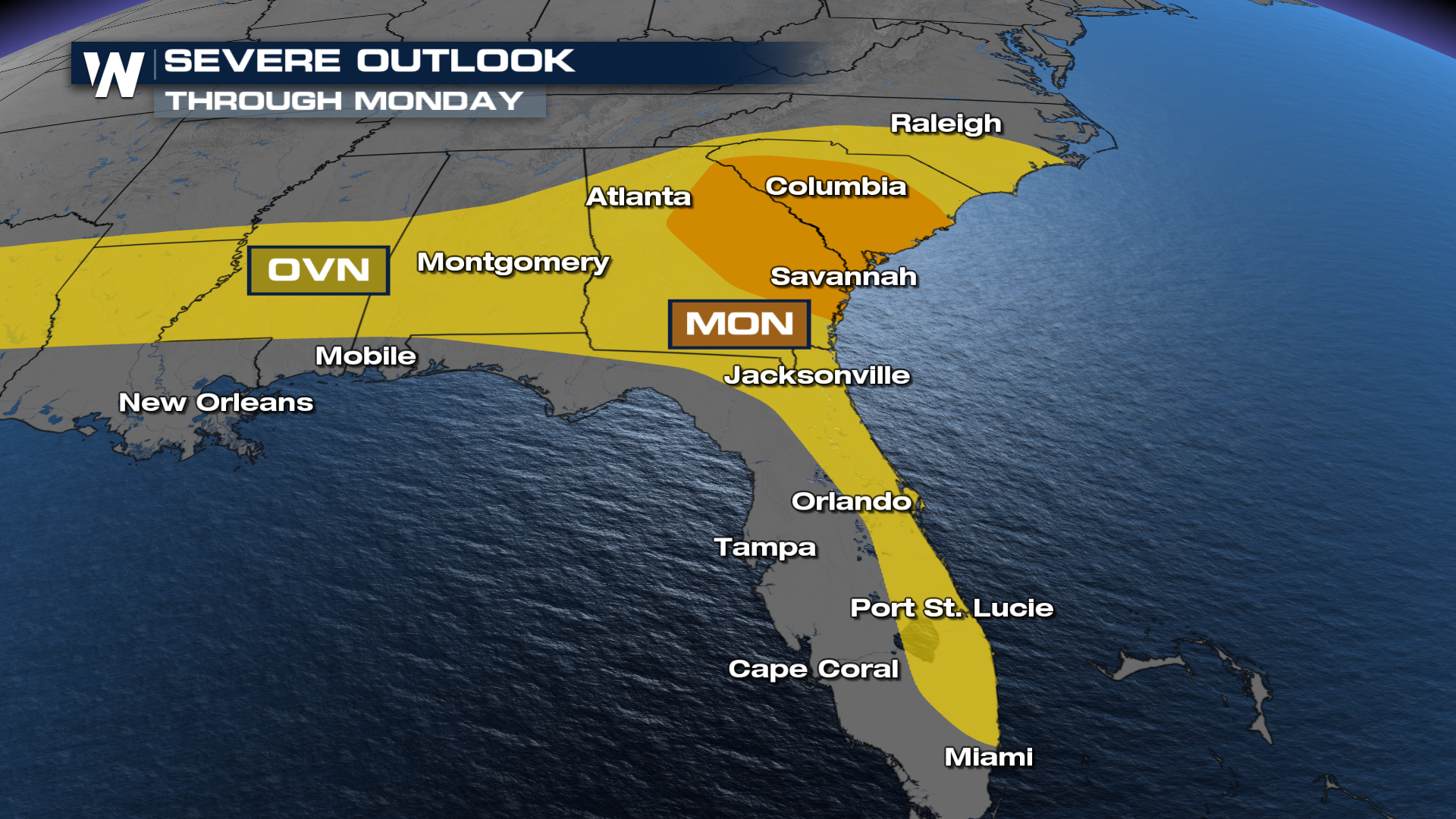 Severe storms are possible each day, with damaging winds expected as the primary hazard, but large hail and an isolated tornado can't be ruled out.
Several inches of rain will be possible. With the grounds very saturated, it will not take much to cause more flooding. So remember, TURN AROUND AND DON'T DROWN.