Watching the Tropics: Quiet for Now
Things in the tropics have cooled off with now no areas to monitor in the next 48 hours. A weak, nontropical low brought heavy rain and gusty winds to Florida this weekend but didn't materialize into anything tropical thankfully.
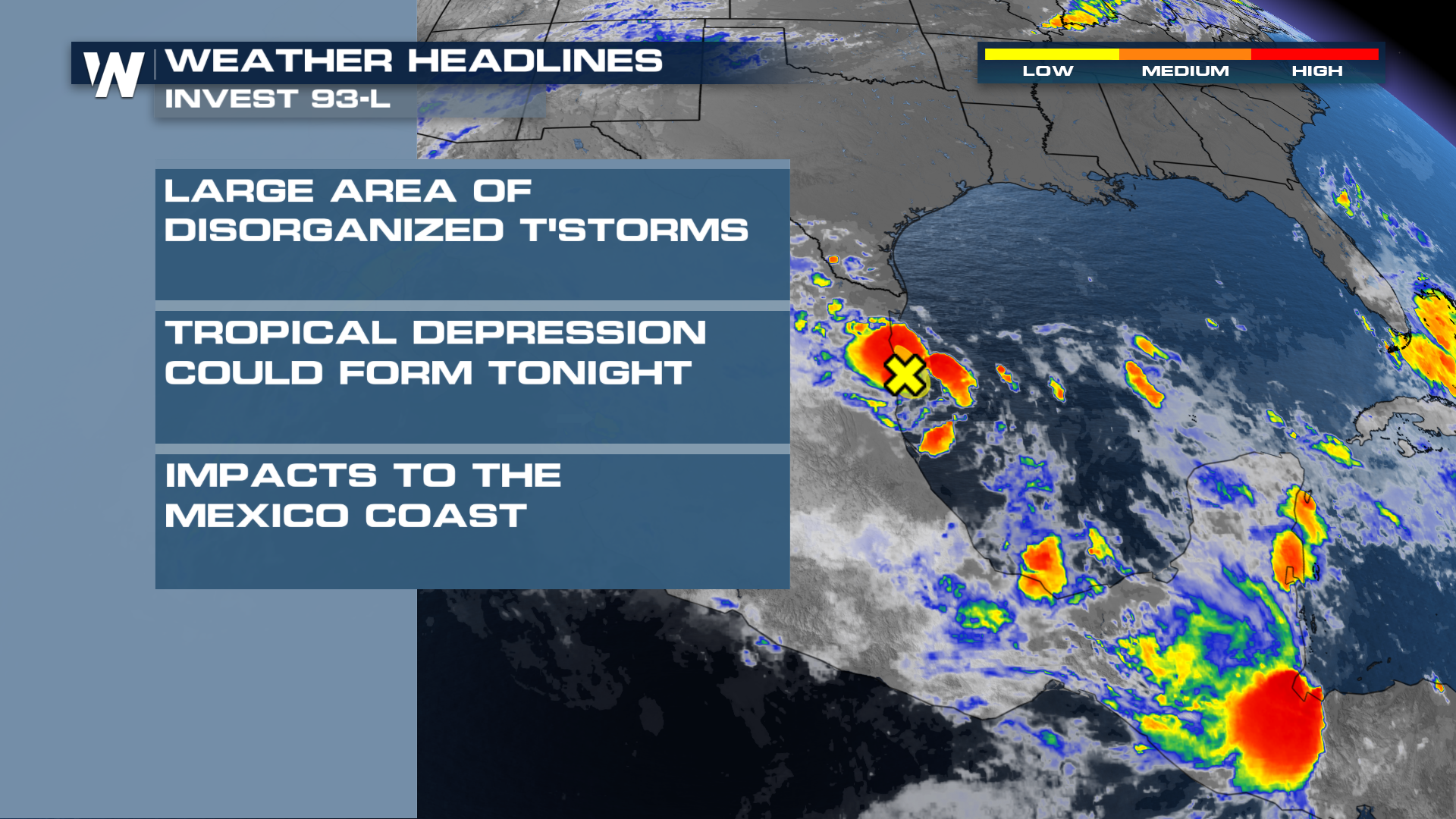
After the first named storm of the season made landfall on Thursday (Tropical Storm Alberto), there was another area of interest behind it that thankfully never materialized either in the Bay of Campeche (SW Gulf). Following on the heels of Alberto, another disturbance in nearly the same area over the Bay of Campeche has a low chance of tropical development.
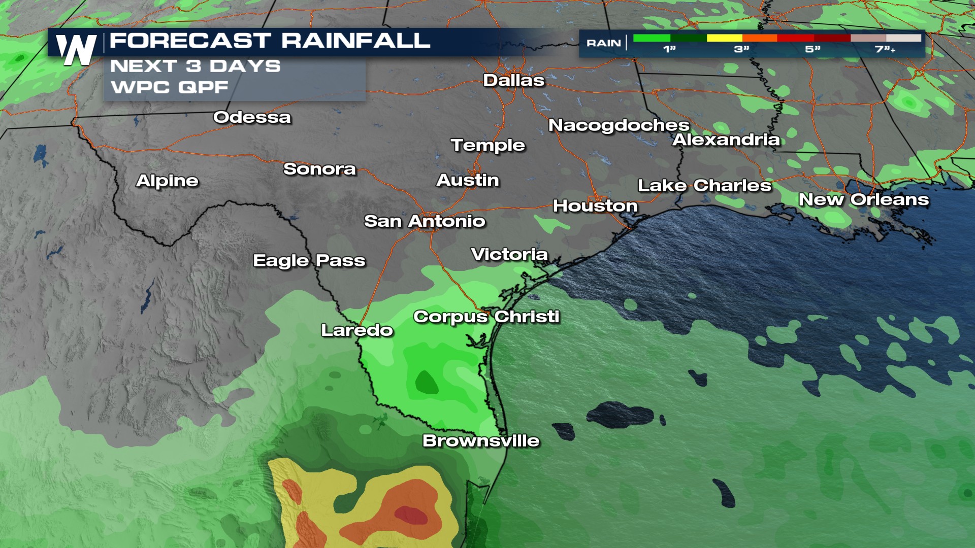
 A few showers are possible for far south Texas. The center of the low is south of Texas, near where Alberto was, but this storm is smaller and much less organized. This will limit impacts to the Lone Star State to the extreme southern tip, with heavy downpours through the weekend. Gusty winds are more likely to stretch up to the Houston area.
The southern tip of Texas runs the risk of seeing an additional 1-3" of rainfall. This creates a slight chance for localized flooding concerns, especially since southern Texas grounds are highly saturated. Pay attention to the forecast and any weather alerts that may be issued.
 As a reminder, 2024 is expected to be above average for tropical activity due to a La Nina forming during the peak of hurricane season in September. Tropical activity can and does occur in early June. It only takes one storm to impact you and the time to prepare is before the storm hits!