Sunshine State to See Severe Weather Today

As the Southeast remains under the influence of upper level troughing, the daily chances of showers and thunderstorms will continue for Thursday. During the day on Wednesday, Florida did experience some strong thunderstorm wind gusts. Gusts reached up to 60 mph near St. Petersburg, FL.

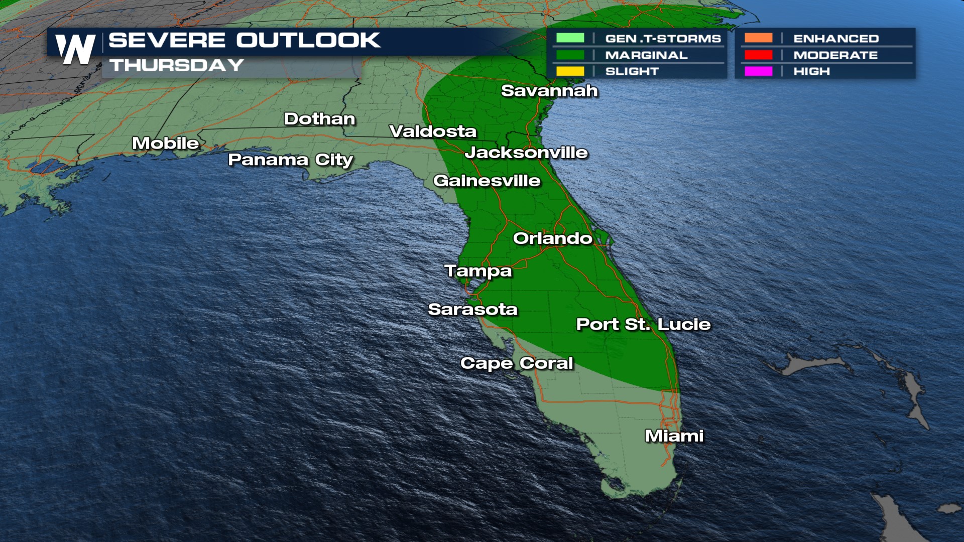 Heavy rainfall will be one of the main threats across Florida. The northern tier of the state could see an additional 5"+. For more on the flood threat along the East Coast, click here.
 Day after day of dealing with severe thunderstorms in the south and southeast, the active pattern has been largely influenced by the upper-level pattern. The ridge to the west is driving a clockwise flow and thus, upper-level winds from the northwest in the deep south. At the surface, strong southerly winds have increased instability and moisture. With such steep lapse rates, also known as the temperature change in the atmosphere, the air has been extremely unstable.
For the latest on the unsettled pattern in the Gulf, join WeatherNation for your eastern Regional forecast at :10 past the hour.


