Heavy Snow Lingers in New England Saturday

Top Stories
7 Feb 2026 8:00 PM
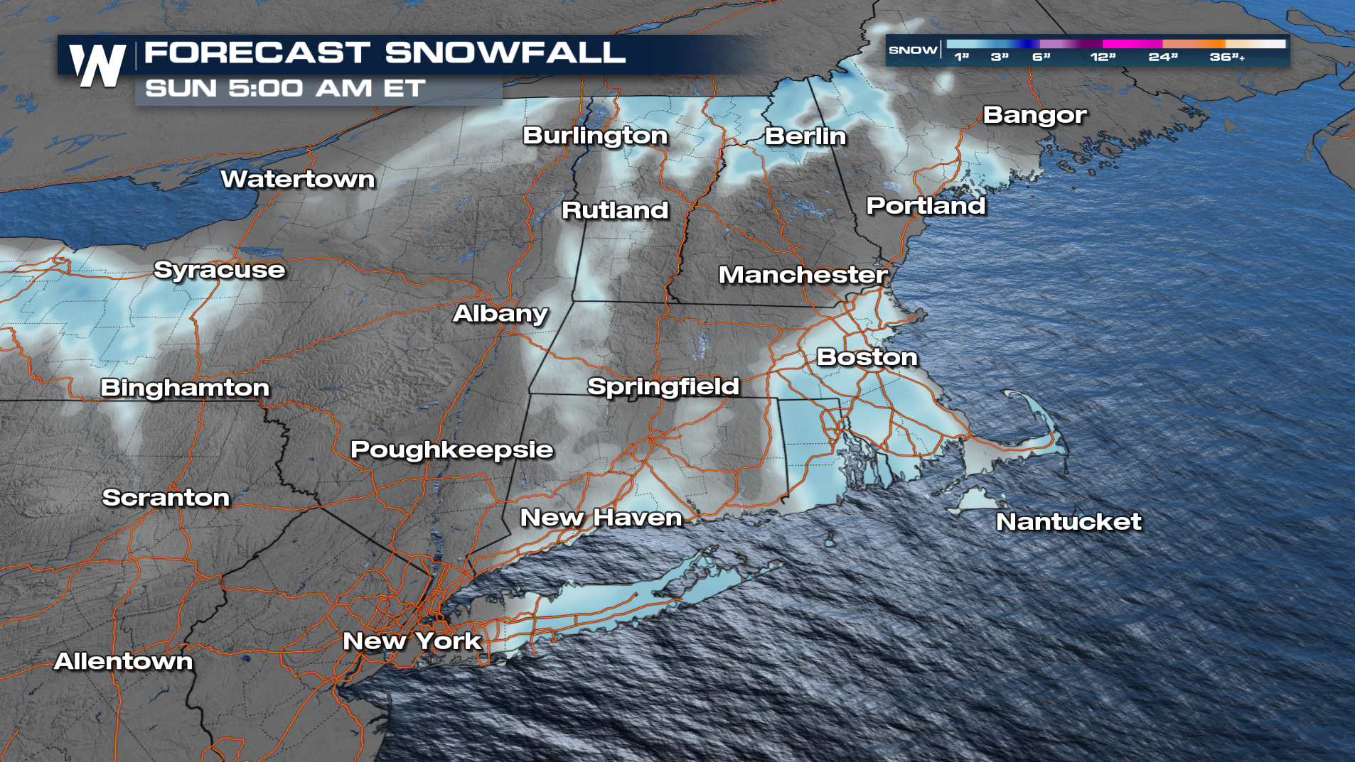
Snow blew through much of the Northeastern United States on Friday, dropping between 1-6 inches from Indiana to Virginia. As the low pressure system slowly exits New England on Saturday, additional snow is expected to pile up. Some locations in Massachusetts already picked up near a foot of snow with several more inches expected by sunset.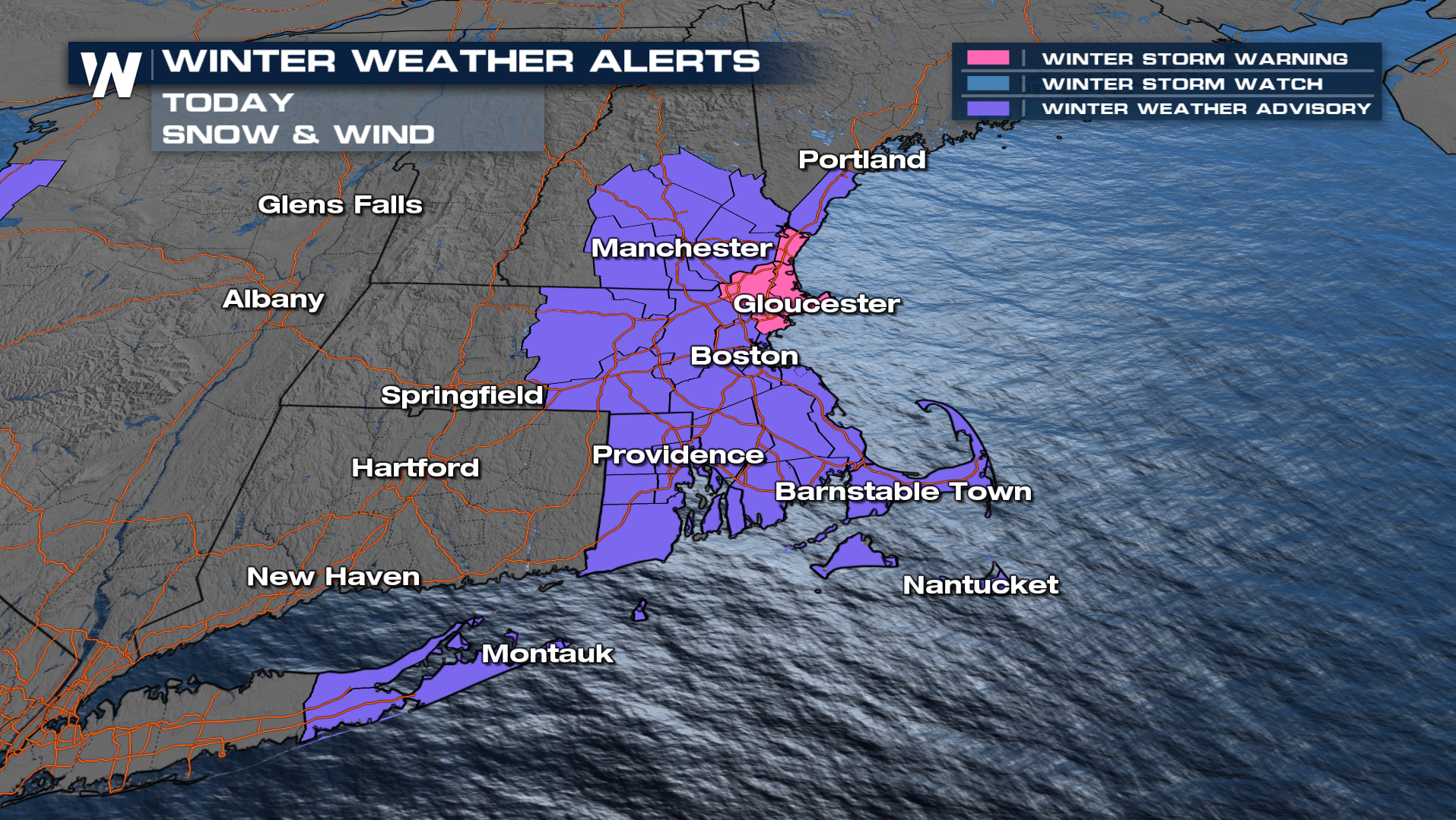
While most winter weather alerts already expired Saturday morning, alerts in New England will last through tonight, including the winter storm warning for areas like Gloucester. An additional 2-4 inches of snow are possible.
Get the latest forecast for the Eastern U.S. at :10 past the hour on air, or use the WeatherNation app to watch the latest anytime.
All Weather News
More
Severe Storms Target the Midwest to the Northeast
UPPER MIDWEST - Dangerous tornadoes have alre
28 Jul 2026 1:45 AM

Tropics: Fausto Heads towards Hawaii; Genevieve Cat 4 Hurricane
PacificHurricane Fausto continues to track we
28 Jul 2026 1:45 AM


Southeast Flood Risk Lingers Near Stalled Front
A stalled boundary over the Southeast will ke
25 Jul 2026 10:55 AM

Another Round of Storms Targets the Northeast
Tuesday brought severe weather again across p
23 Jul 2026 1:15 AM

Another Round of Severe Weather for the Upper Midwest and Great Lakes
The upper-level low train continues to keep t
21 Jul 2026 1:45 AM