Heat on the East Coast Aids Storm Chances Tuesday
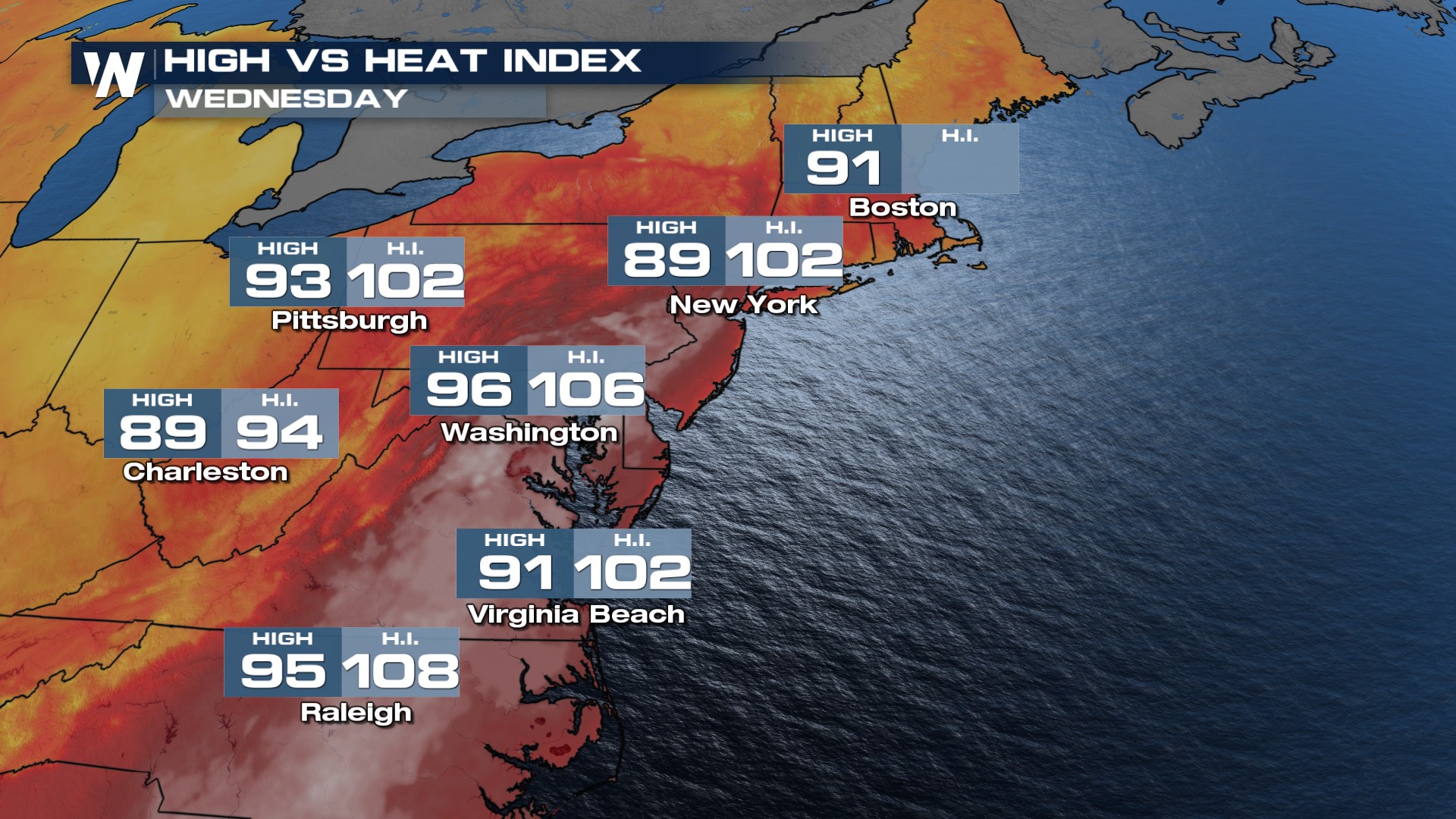
Temperatures will again stay well above average through Wednesday before temperatures drop with Beryl's moisture and passing cold front. Heat advisories have been issued from the Mid-Atlantic and into parts of the East Coast as the heat is exacerbated by the high humidity - dewpoints in the 70s thanks to Beryl's moisture. Temperatures will be hottest through the I-95 corridor where dew points in the 70s will make it feel like the 90s for many Northeast cities.
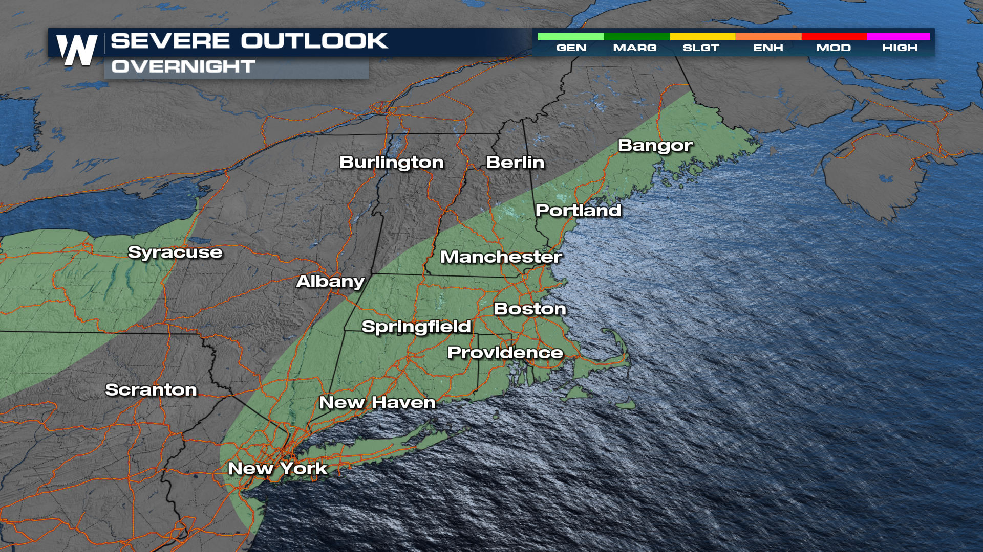
 This abnormal heat is also contributing to storm chances: there is a severe weather threat encompassing most of New England including Boston, Providence, Hartford, and Manchester. Although we saw the severe threat earlier today, with the loss of daytime heating there is now, a low chance of severe and just a general risk of thunderstorms through the overnight hours.
 Overnight most will remain dry, and an isolated storm or two will be possible. The next round of rain and storms moves in tomorrow as the remnants of Barrel, work through, with a heightened flood risk due to lingering moisture from Beryl on Wednesday.