Study validates accuracy of NOAA’s smoke forecasting model during the Camp Fire
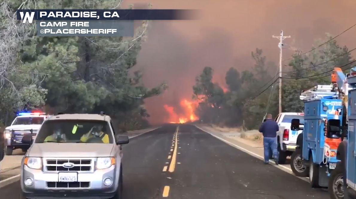
[Image from the Camp Fire in northern California from 2018. Courtesy: Placer Sheriff]
[Written by NOAA] The Camp Fire in Paradise, California, was the deadliest and most destructive wildfire in California's history, and the most expensive natural disaster in the world in 2018. The wildfire claimed 88 lives and blanketed millions of people in Northern California with dense smoke for two weeks.
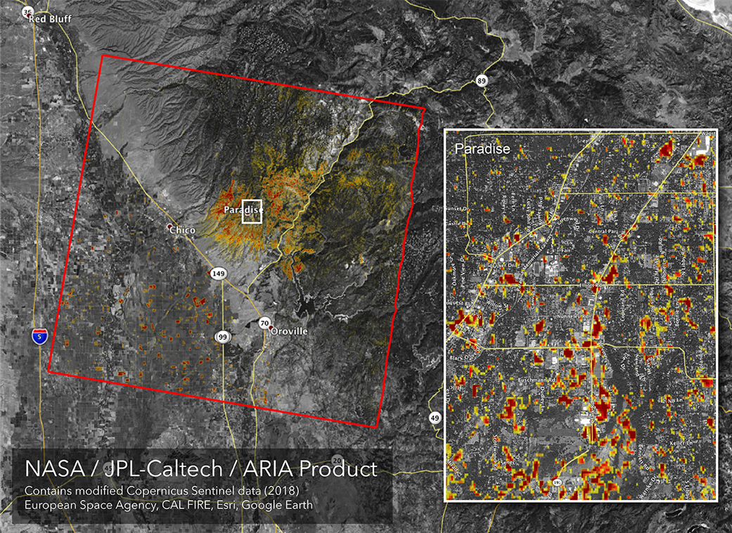
[NASA’s ARIA team produced this map of damage to Paradise, California, from the Camp Fire, the deadliest wildfire in the state’s history. Credits: NASA/JPL-Caltech]
The Camp Fire is just one of many major wildfires that have choked the summer skies across the United States in recent years, a development that has increased demand for accurate air quality forecasting. A new study published in the June edition of the Bulletin of the American Meteorological Society, finds that the HRRR-smoke model developed by NOAA’s Global Systems Laboratory (GSL) accurately predicted the general movement and concentration of the Camp Fire’s smoke during the initial week of the lengthy blaze.
“HRRR-Smoke is a powerful tool for forecasting extreme smoke pollution events,” said co-author Ravan Ahmadov, a CIRES scientist in GSL who helped lead the development of HRRR-Smoke. “The model accurately captured the spread of dense smoke, an impressive achievement given wind conditions that drove the smoke down the valley toward the Bay Area, over the Sierras into the Central Valley, and across the Central Valley to the coastal mountain range.”
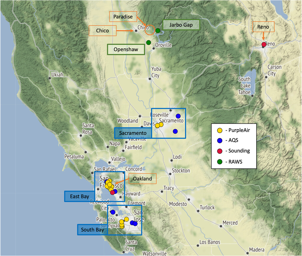
[This map depicts data sampling locations used in this study. The Camp Fire was located near Paradise, CA. Cities of interest are marked in orange. Investigation areas are outlined with blue boxes. Credit: University of California Berkeley]
The HRRR-Smoke model, which is a module within NOAA’s High-Resolution Rapid Refresh short–term weather model, predicts the transport of wildfire smoke and the smoke’s impact on weather and visibility over the United States. Using the most recent weather observations and information about fires detected by polar-orbiting satellites during the previous 24 hours, HRRR Smoke calculates a fire’s size and couples that information with weather simulations from HRRR to produce forecasts of near-surface smoke and smoke aloft. The model was transitioned to the NOAA National Weather Service operational suite of models in 2020.
Using the 2018 Camp Fire as a validation case, a research team led by Tina Chow, a professor of civil and environmental engineering at the University of California Berkeley, compared model forecasts with observations from local weather stations and air quality sensors. The team found that HRRR- Smoke accurately predicted the intensification of smoke pollution early in the fire’s development when a high-pressure system trapped extreme amounts of smoke close to the surface. The model was able to provide smoke forecasts at a resolution of 3 km—or at the level of individual neighborhoods.
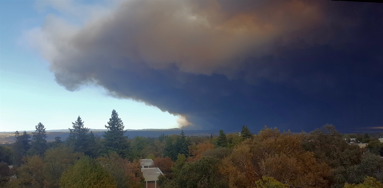
[Smoke from the Camp Fire blots out sunlight. Credit: NOAA]
“The model did a very good job,” said Chow. “You could use it for overall predictions of how long the smoke will last over a certain area.”
The study also identified aspects of the model that could be improved. For example, during the second week, the model underperformed—perhaps because of thick smoke obscuring the view of satellites that pick up fire’s heat signatures to initialize the model. HRRR-Smoke currently relies on the intermittent observations of fire radiative power from NOAA’s two polar-orbiting satellites, the NOAA/NASA Suomi National Polar-orbiting Partnership satellite and NOAA-20, which would have passed over the fire two or three times a day. GSL researchers say they may be able to tap into NOAA’s new GOES18 satellite, a geostationary satellite which could provide continuous observation.
GSL scientists are also applying what they learned from this case and others like it to improve the successor to HRRR-Smoke, which will be integrated into the Rapid Refresh Forecast System (RRFS), NOAA’s next-generation convection-allowing, rapidly-updated ensemble prediction system. GSL scientists are currently developing the RRFS model suite using the Jet supercomputer located in NOAA's David Skaggs Research Center in Boulder, Colorado. RRFS is expected to be operational in late 2023.
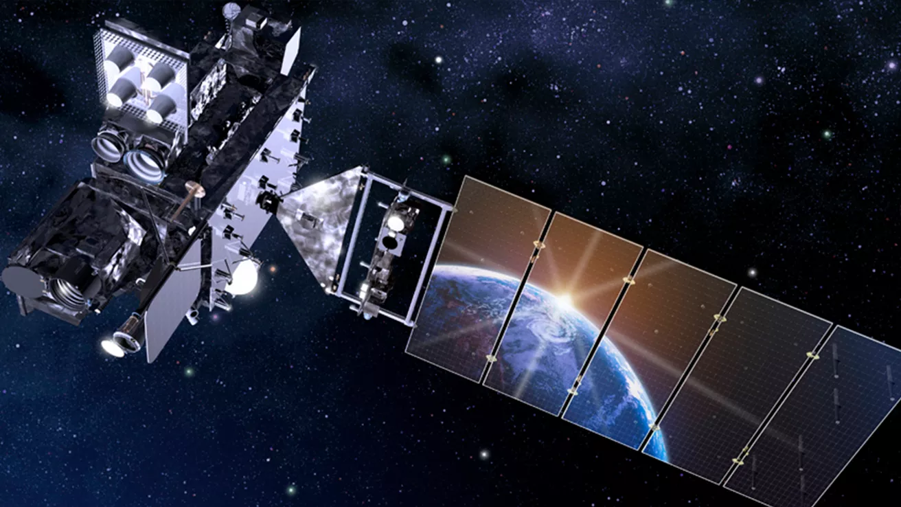
[Artist's rendering of NOAA's GOES-18, which will provide coverage for U.S. West Coast, Hawaii and Alaska. (NOAA)]
NOAA National Severe Storms Laboratory and GSL scientists are also working to integrate HRRR-Smoke into NSSL's experimental Warn-on-Forecast System (WoFS), which generates automatically updating warnings and impact maps for advancing weather systems that are likely to generate tornadoes, severe thunderstorms, or flash floods. The system, termed WoFS-Smoke, would generate updating hazardous air quality alerts and maps based on the HRRR-Smoke forecast.
“With wildfires now creating large-scale smoke events regularly affecting many people in the western United States, HRRR-Smoke is an essential tool for providing real-time operational support for weather and air quality forecasters,” said co-author Eric James, a CIRES researcher in GSL.
Edited for WeatherNation by Mace Michaels


