Deadly EF-3 Tornado Hit Just North of Birmingham, AL
Top Stories
26 Jan 2021 6:30 PM
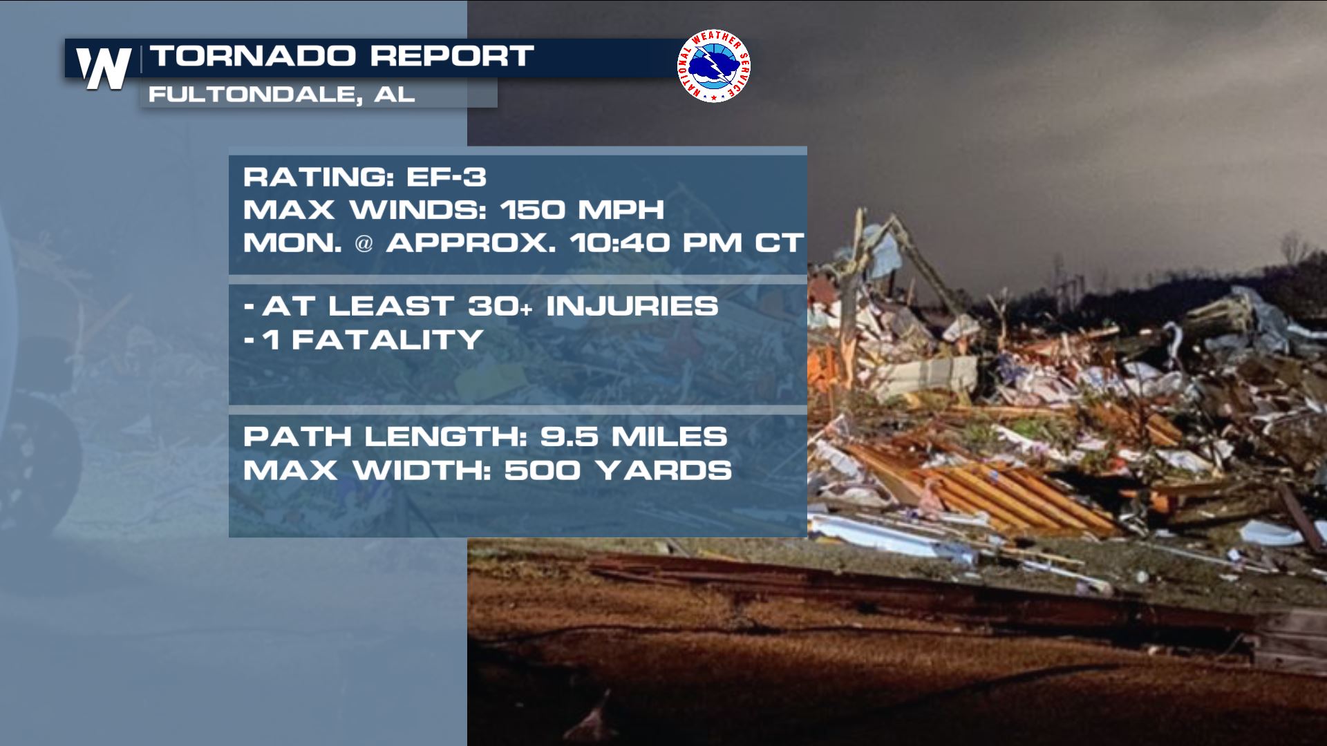
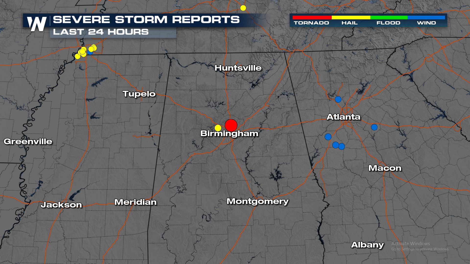
Around 10:40 PM Central time a tornado hit the community of Fultondale, AL located just to the north of Birmingham.
https://twitter.com/WeatherNation/status/1353944489426100224
The aftermath of the tornado shows significant damage to many areas in Fultondale. Here is the latest drone footage of the damage from the tornado.
https://twitter.com/WeatherNation/status/1354112111899598853
https://twitter.com/NWS/status/1354109749395148802
The National Weather Service Office in Birmingham, Alabama, has storm surveys underway, with preliminary reports of EF-3 tornado damage. They will have final updates after all surveys are complete.

 https://twitter.com/i/status/1354157160733810688
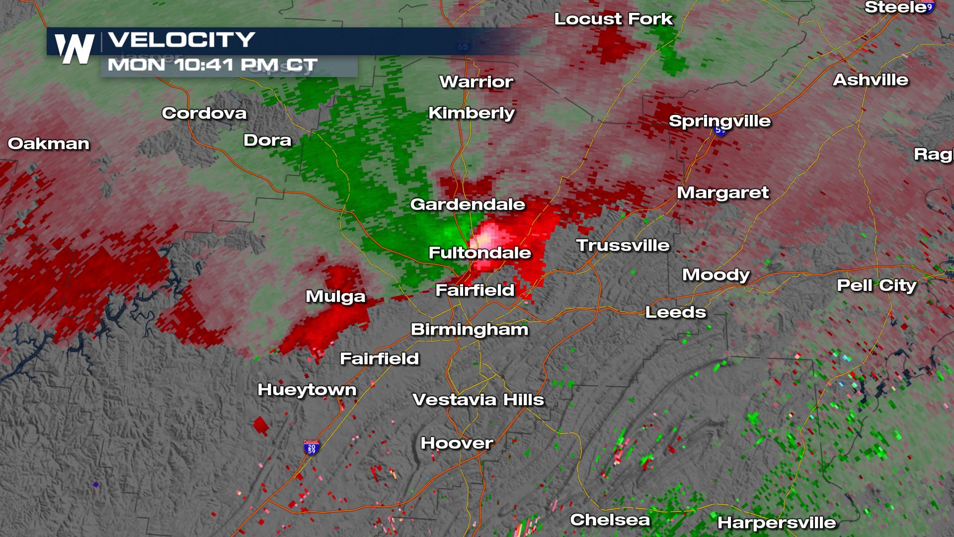
This is the Doppler radar velocity data taken at the time that the tornado moved through Fultondale. There is clearly a tornado showing on the velocity imagery right in this areas. Velocity shows the inbound and outbound winds in relation to the radar. This is a great tool for tracking a tornado.
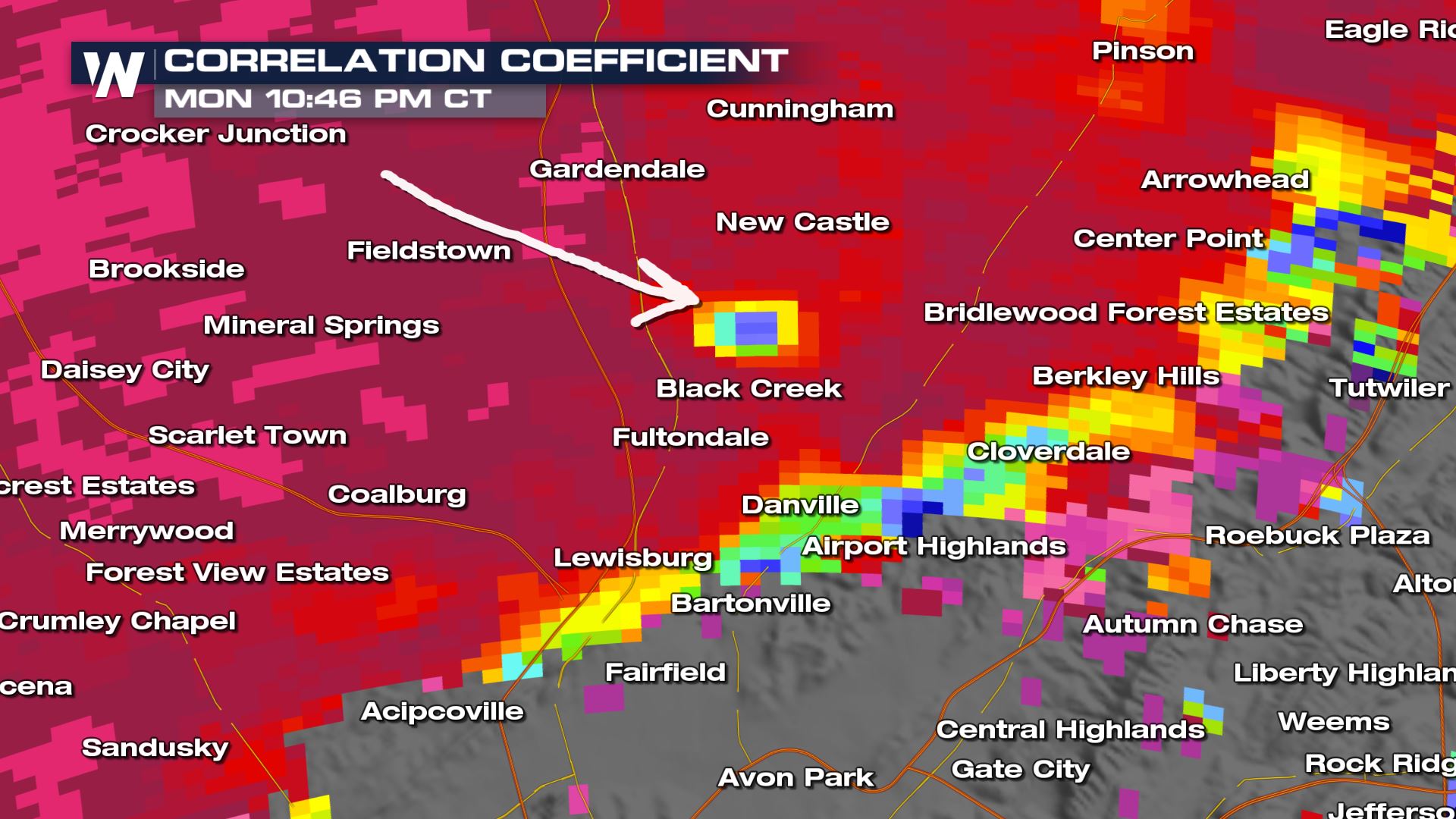
 Just minutes after this imagery, a particular signature showed up on dual-polarization Doppler radar that showed debris that was being flung through the air. This was the confirmation that a tornado was occurring. The correlation coefficient is a great tool for showing debris getting blow around by a tornado.
 There is another risk of severe weather for the Southeast again today. Here is a look at what areas could see severe storms---> SEVERE

A Look Back
 https://twitter.com/i/status/1354157160733810688
This is the Doppler radar velocity data taken at the time that the tornado moved through Fultondale. There is clearly a tornado showing on the velocity imagery right in this areas. Velocity shows the inbound and outbound winds in relation to the radar. This is a great tool for tracking a tornado.
 Just minutes after this imagery, a particular signature showed up on dual-polarization Doppler radar that showed debris that was being flung through the air. This was the confirmation that a tornado was occurring. The correlation coefficient is a great tool for showing debris getting blow around by a tornado.
 There is another risk of severe weather for the Southeast again today. Here is a look at what areas could see severe storms---> SEVERE
All Weather News
More